This is custom heading element
[post-fields post_field=”wpcf-subtitle”]
[post-fields post_field=”wpcf-byline”]

One of Atlanta’s greatest natural resources is the Chattahoochee River and the woodlands and wetlands that surround it. Yet it’s easy to forget that the river even exists. Downstream from the affluent suburban neighborhoods that abut the Chattahoochee National Recreation Area, public access is virtually nonexistent. For many metro communities, even those that border the river’s banks, the Chattahoochee remains out of view and physically out of reach.
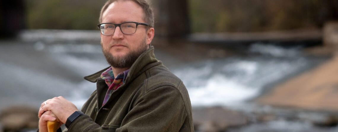
“For a lot of Atlantans, the only touchpoint they have with the river is when the water comes through their pipes,” says Richard Milligan, assistant professor of geosciences. “We can have a more intimate relationship with this huge body of water. The question is, how do you create a continuous public realm that genuinely benefits all of Atlanta?”
The Atlanta Regional Commission, with the Trust for Public Land, the City of Atlanta and Cobb County, commissioned a study in 2018 to reimagine a 100-mile stretch of the Chattahoochee, from Buford Dam to Chattahoochee Bend State Park. The two-year project was led by SCAPE, a landscape architecture firm based in New York, and Milligan was chosen to steer stakeholder engagement and equity work.
He worked with Georgia State alumnus Na’Taki Osborne Jelks, assistant professor of environmental health at Spelman College, to organize and conduct dozens of meetings for stakeholders and working groups, a series of public forums and “river rambles” that engaged the public through outings on the water. To address the racial disparities that historically have been entrenched by environmental governance in Atlanta, he and Jelks worked with Black environmental leaders and organizations like the West Atlanta Watershed Alliance, the South River Watershed Alliance and the Environmental Community Action.
Milligan co-authored in 2019 a report analyzing the river’s existing conditions, including disparities, access, differences between urban and suburban spaces and the surrounding communities’ social vulnerability or ability to withstand adverse impacts.
“We wanted to think proactively about how new development and access points along the river would impact gentrification and affordability,” says Milligan. “You have to really lean in and consider the way that those kinds of amenities have been deployed to the benefit of some communities and the detriment of others.”
Milligan and the SCAPE team published last summer the Chattahoochee RiverLands Report, outlining a vision and strategies for revealing and reconnecting the river to the city via a network of parks, trails and greenways alongside its banks and “blueways” that allow access to the water itself.
“It takes existing amenities, such as those in the National Recreation Area, and links them into a larger framework that provides greater and more equitable access to the river throughout the metro area,” Milligan says.
The report contains details for several “demonstration projects,” such as new trailheads, pedestrian bridges, promenades and parks, that showcase how the network could be implemented and developed over time. The Trust for Public Land plans to collaborate with local governments and other partners to help execute RiverLands projects within the municipalities along the 100-mile corridor.
“The idea is that if local leaders are thinking of developing land by the river, why not take advantage of this huge regional investment and bring some of these projects to life?” Milligan says.
Portrait by Steve Thackston


Leave a Reply